Read more:
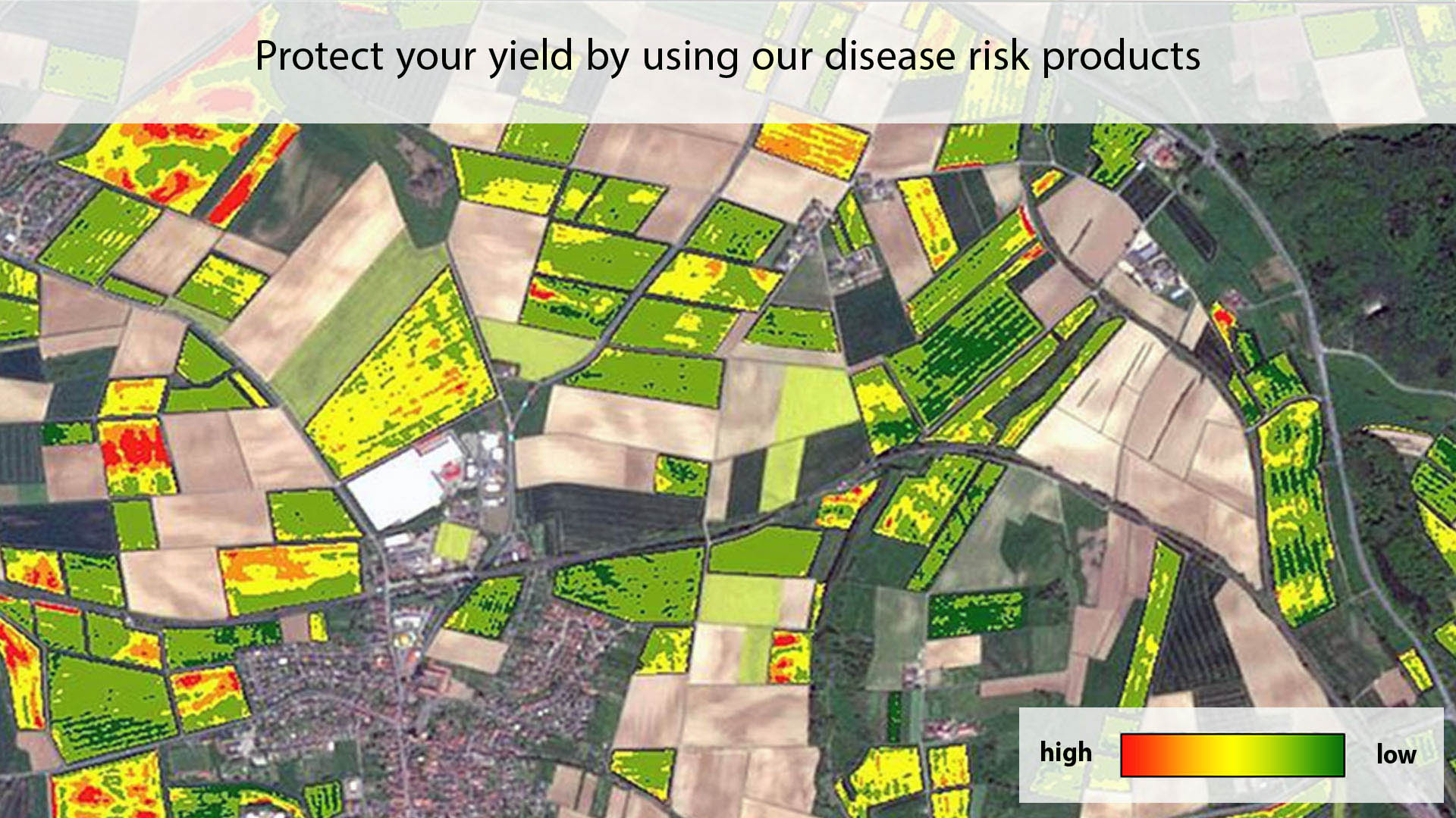
Mapping disease outbreak risks enables the identification of zones with a low or high risk and allows variable rate spraying of fungicides with our application maps.
Validated disease risk mapping models of SBI involve parameters and variables derived from real-time satellite images, long term observation and topography. These data characterize risk factors related to the host and pathogens of the plant disease triangle.


