ANALYTICS
FOR
A BETTER TOMORROW
ANALYTICS
FOR
A BETTER TOMORROW
ANALYTICS
FOR
A BETTER TOMORROW
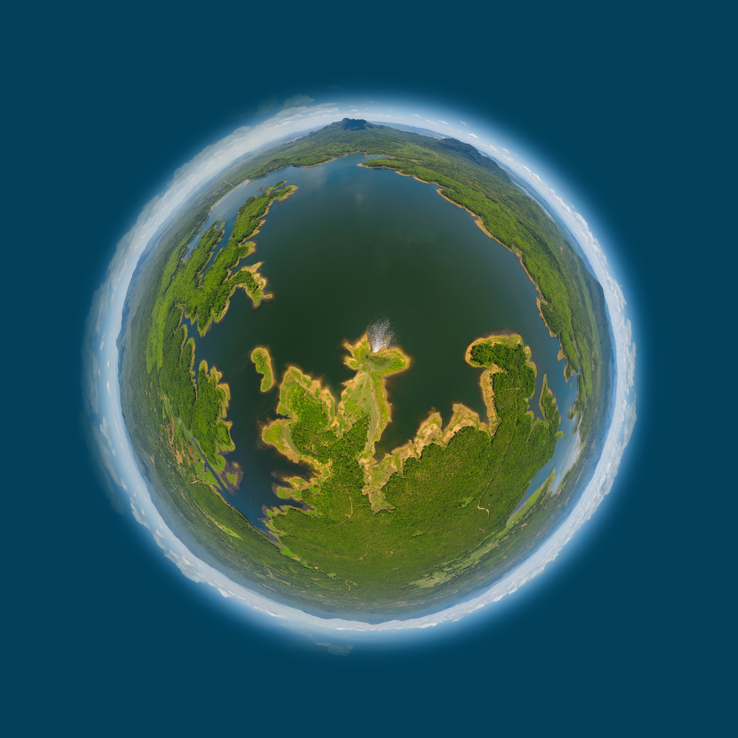
HELLO MOTHER EARTH!
HEY EARTHLINGS!
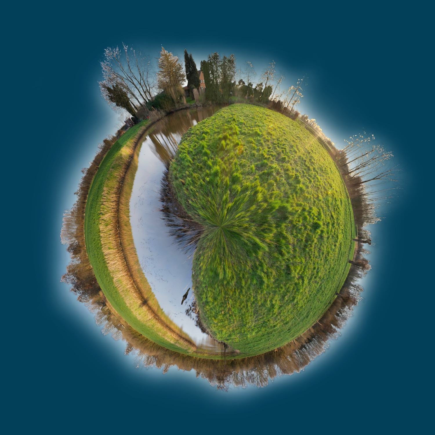
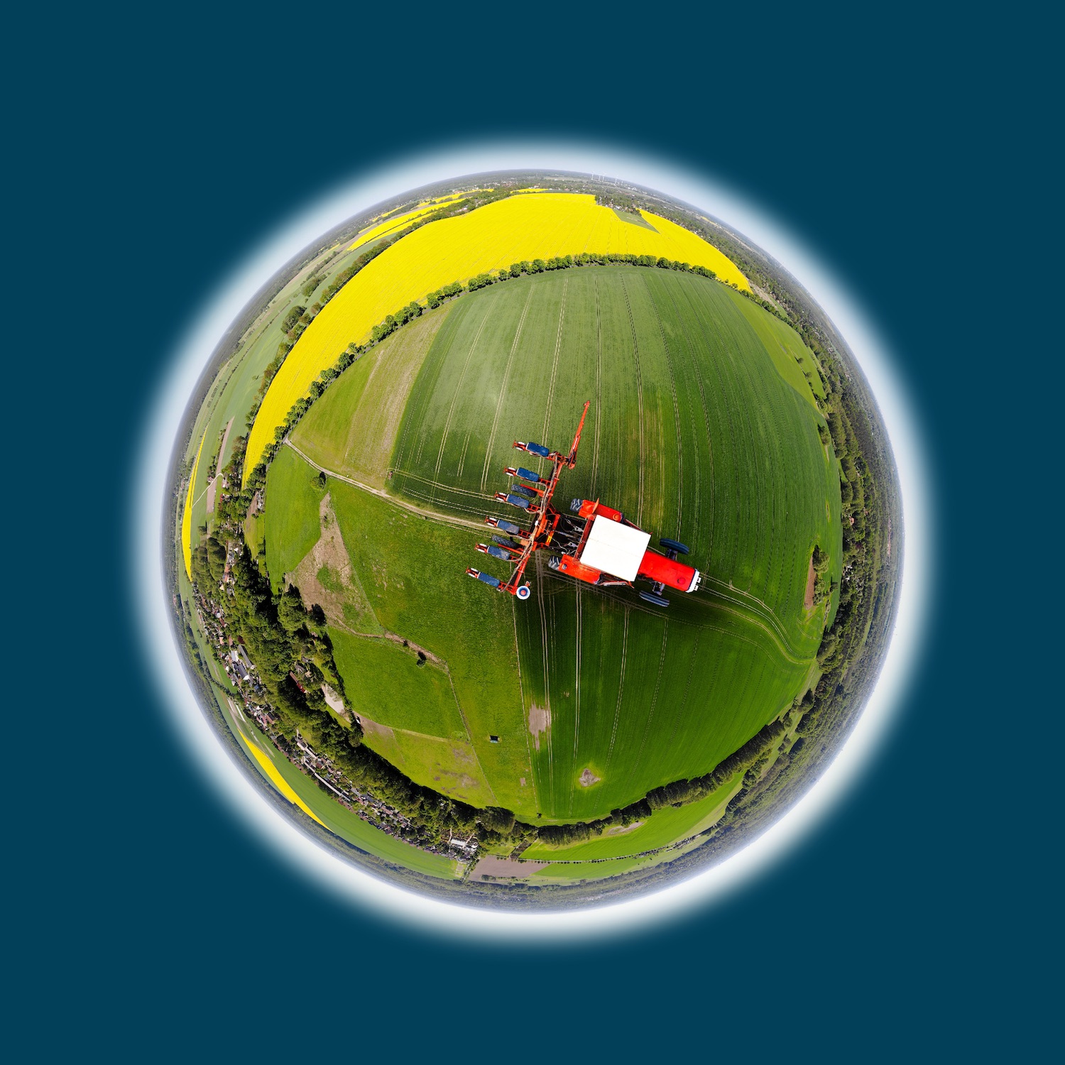
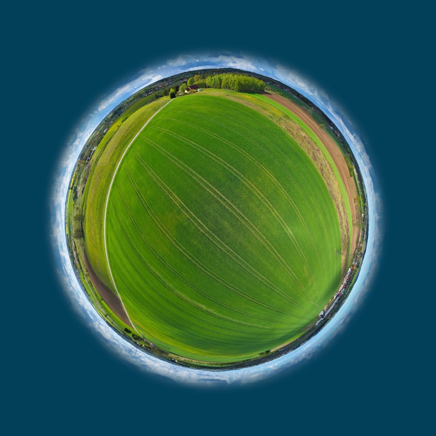
HELLO PLANTS!
HEY FARMERS!
HELLO PLANTS!
HEY FARMERS!
Satellite Intelligence shows you where the yield can be increased in fields.
Satellite Intelligence shows you where the yield can be increased in fields.
Read more:
- Satellite-based application map
- ISOBUS data records
- Sowing map (Seed map)
- Soil moisture
- Site specific fertilizer map
- Current nitrogen uptake status in the field
- Weed infestation in the field
- Risk of disease occurrence in the field
- Disease or pest infestation
- Application maps for spraying
- Optimized spraying sequence
- Ripeness sequence
- Yield potential in the field
- Relative yield potentials of several fields
- Yield forecasts with our own growth model
- Analysis of biodiversity
- Combined analysis using satellite-, soil-, weather and plant cultivar
Interested? Want to know more? Contact us, we are looking forward to your message.
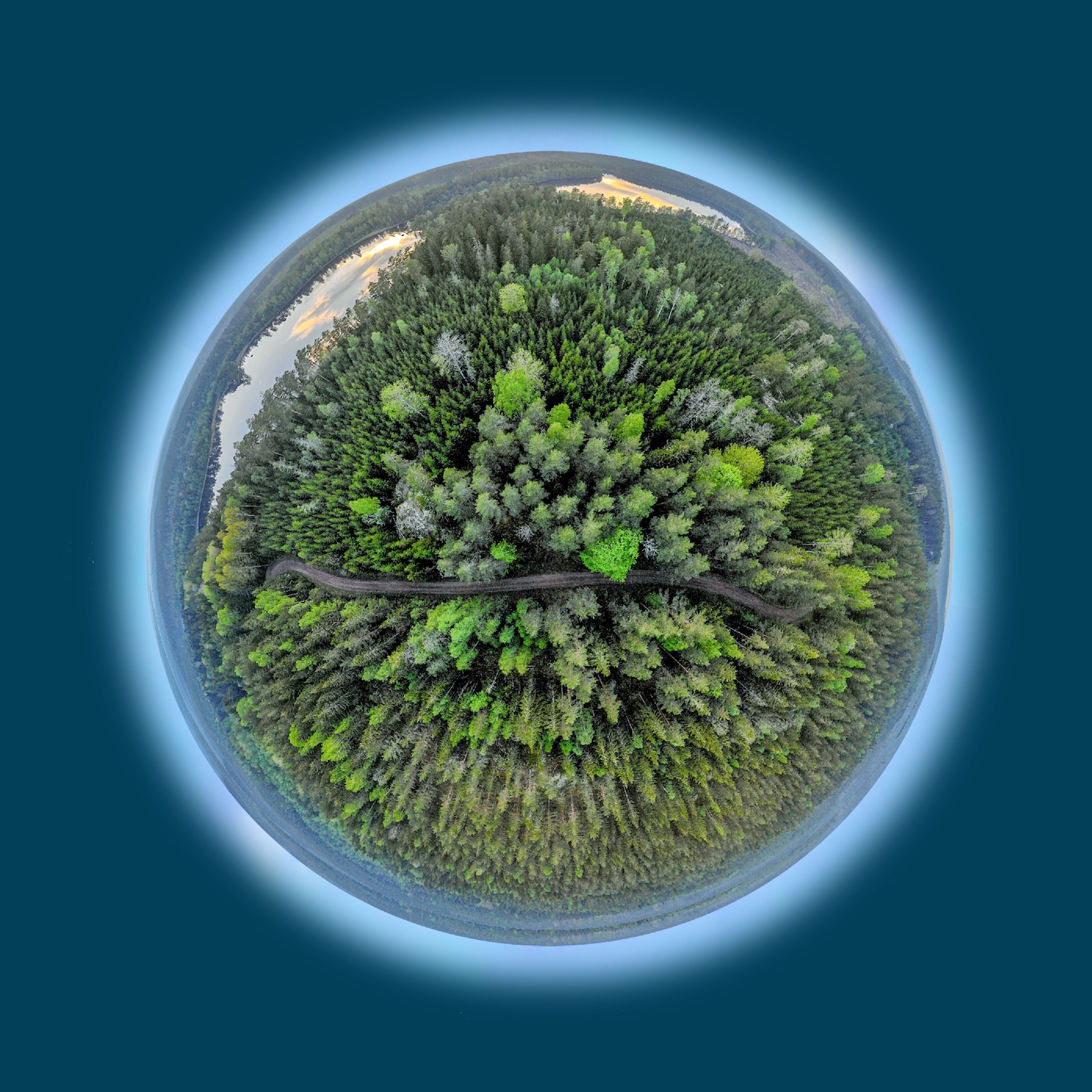
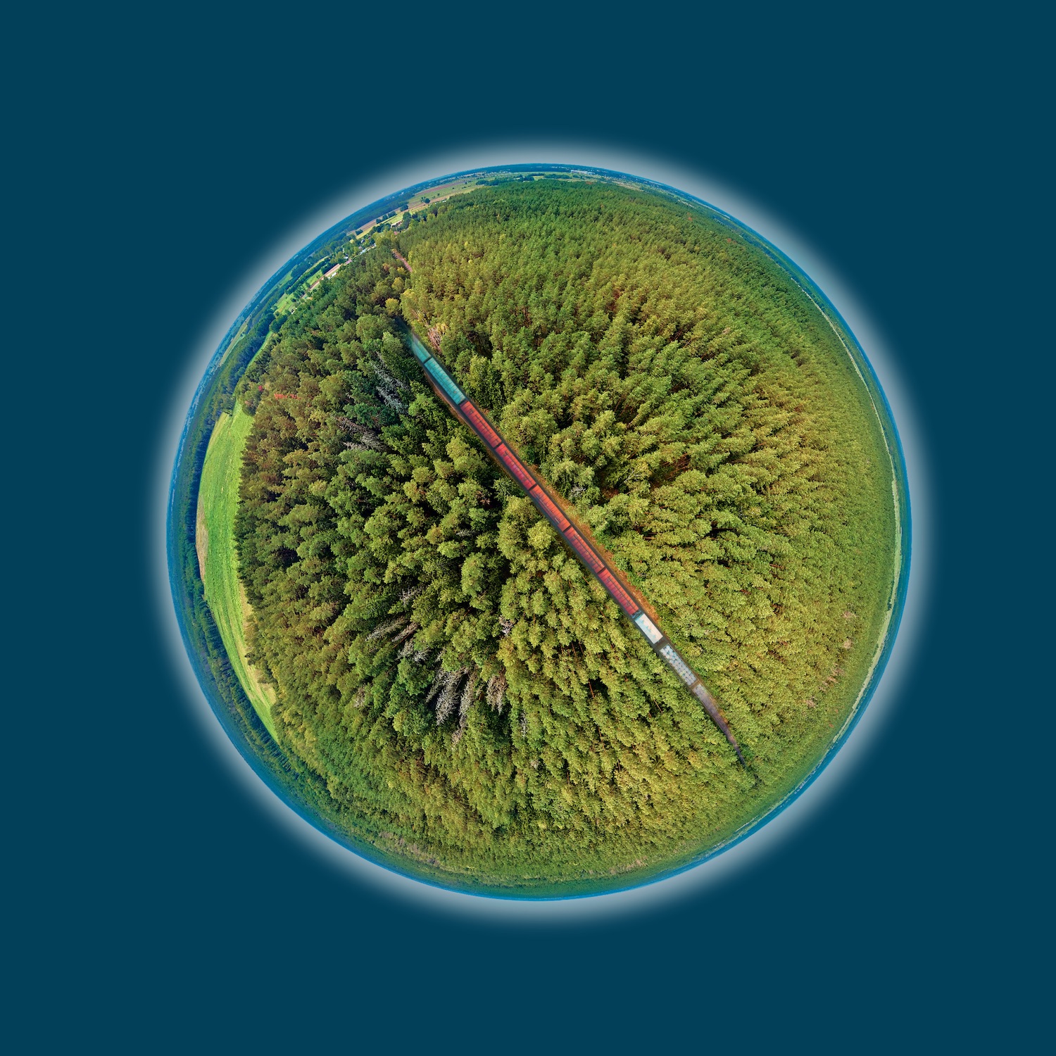
HELLO TREES!
HEY INVESTORS!
HELLO TREES!
HEY INVESTORS!
Satellite Intelligence shows you where the forest is growing and is healthy.
Satellite Intelligence shows you where the forest is growing and is healthy.
Read more:
- Forest mapping
- Biotope mapping
- Forest mask
- Forest types
- Groups of tree species
- Tree height maps
- Stock maps
- Multitemporal analyses
- Forest monitoring
- Vitality maps
- Deforestation maps
- Bark beetle infestation
- Oak processionary moth
- Storm prone forest maps
- Fire risk maps
- Combined analysis using satellite, soil and weather data
- Scenarios due to climate change
Interested? Want to know more? Contact us, we are looking forward to your message.
HELLO TRAFFIC ROUTES!
HEY ROUTE PLANNERS!
HELLO TRAFFIC ROUTES!
HEY ROUTE PLANNERS!
Satellite Intelligence shows you what will happen during the next storm.
Satellite Intelligence shows you what will happen during the next storm.
Read more:
- Storm risk assessment of forest areas
- Risk of storm damage depending on the spatial distance to the traffic route (railway track, road)
- Tree height
- Digital terrain models
- Digital surface models
- Combined analysis using satellite, soil and weather data
- Site characteristics
Interested? Want to know more? Contact us, we are looking forward to your message.
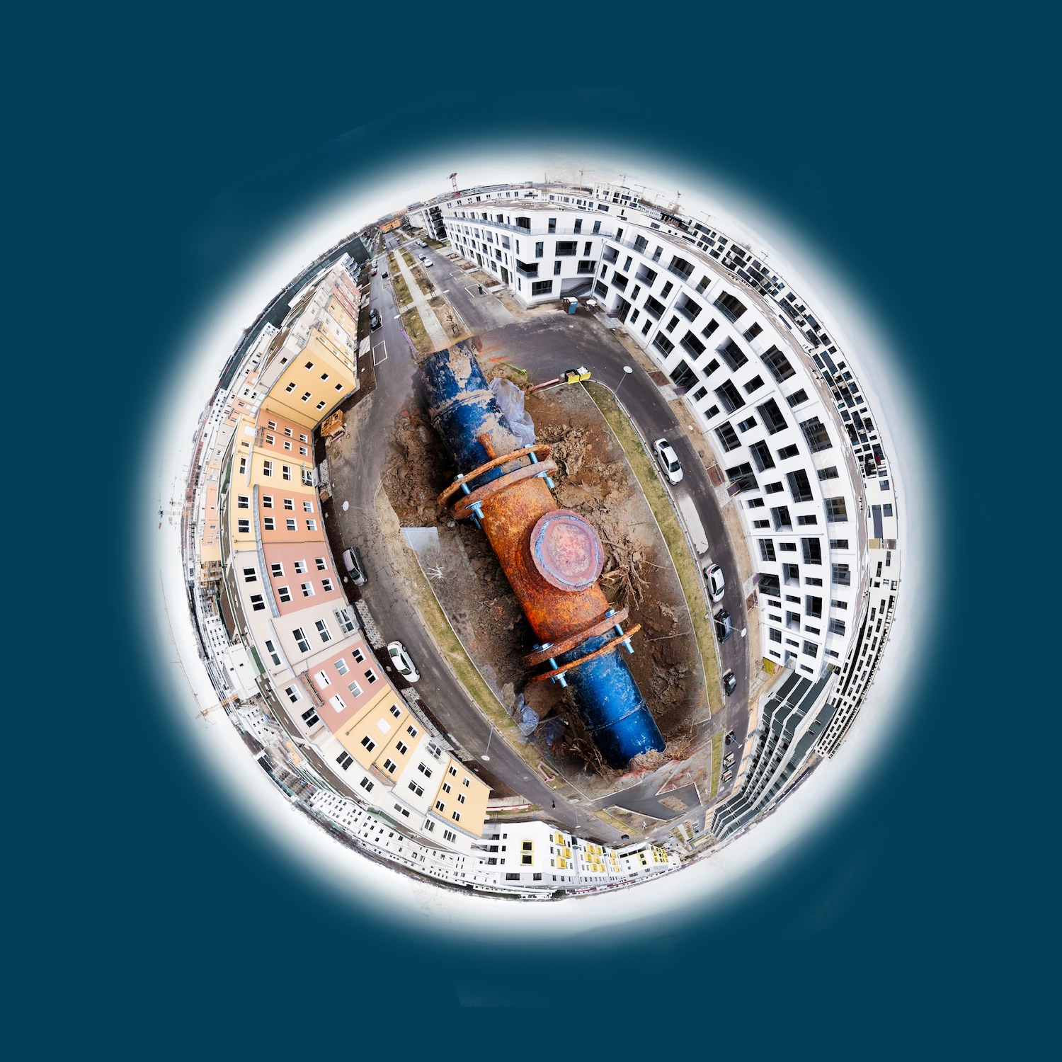
HELLO UTILITIES!
HEY ENGINEERS!
HELLO UTILITIES!
HEY ENGINEERS!
Satellite Intelligence shows you where utility lines are defective.
Satellite Intelligence shows you where utility lines are defective.
Read more:
- Leakage detection in long-distance water pipes
- Monitoring of pipelines
- Environmental effects of power cables
- Leaks in gas pipes
Interested? Want to know more? Contact us, we are looking forward to your message.
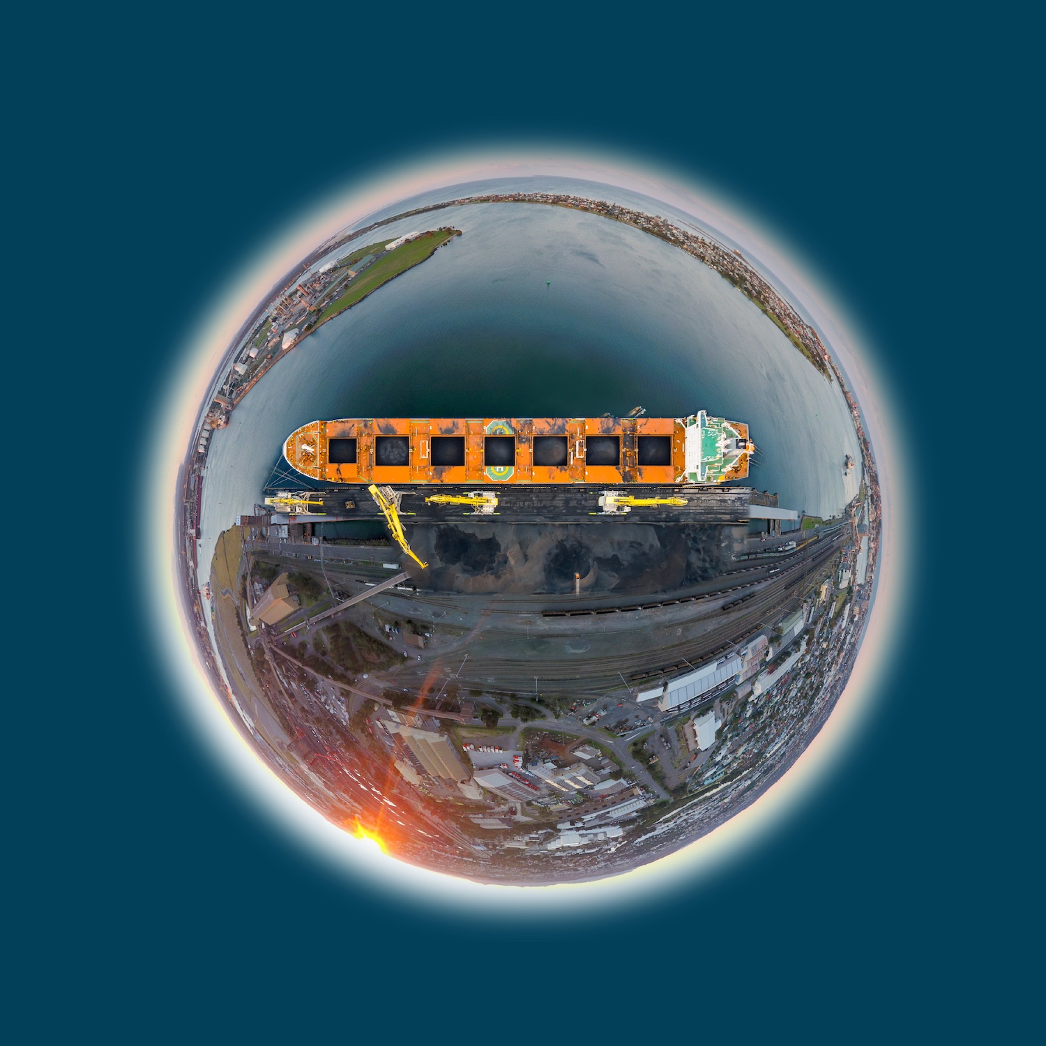
HELLO SURFACE MINING!
HEY COAL DIGGER!
HELLO SURFACE MINING!
HEY COAL DIGGERS!
Satellite Intelligence shows you how commodities will move the stock markets.
Satellite Intelligence shows you how commodities will move the stock markets.
Read more:
- Changes of surface mines
- Volume changes in above-ground storage locations
- Inventory monitoring of above-ground storage areas in ports
- Calculation of loading quantities
- Monitoring of port infrastructure
- Monitoring of overseas transports
Interested? Want to know more? Contact us, we are looking forward to your message.
HELLO INSURANCE!
HEY UNDERWRITER!
HELLO INSURANCE!
HEY UNDERWRITERS!
Satellite Intelligence shows you where the higher risks are.
Satellite Intelligence shows you where the higher risks are.
Read more:
- Damage cases in the agricultural and forestry sector
- Detection of frost, hail, lodging, fire, storm and drought damage
- Calculation of damage extent
- Risk stratification between regions
- Calculation basis for insurance premiums
- Risk scenarios due to climate change
- Combined analysis using satellite, soil and weather data
Interested? Want to know more? Contact us, we are looking forward to your message.
HELLO ENVIRONMENT!
HEY MINISTRIES!
HELLO ENVIRONMENT!
HEY MINISTRIES!
Satellite Intelligence shows you how drought and overfertilization can affect you.
Satellite Intelligence shows you how drought and overfertilization can affect you.
Read more:
- Evaluation of implemented environmental regulations
- Verification of agricultural policy guidelines implementation within the framework of compensation payments
- Captures of the extent of annual cultivated main crops
- Regional yield forecast for annual harvest survey
- Monitoring of climate-related yield losses (drought, flood, frost)
- Assessment of climate-related yield losses
- Degree of soil coverage rate
- Fertilization analyses
- Proof of organic cultivation
- Biodiversity surveys
Interested? Want to know more? Contact us, we are looking forward to your message.
HELLO PLANT PROTECTORS!
HEY RESEARCHER!
HELLO PLANT PROTECTORS!
HEY RESEARCHERS!
Satellite Intelligence shows you how trials can be observed globally and economically.
Satellite Intelligence shows you how trials can be observed globally and economically.
Read more:
- Trial monitoring
- Trial evaluations
- Comparison of site-specific characteristics
- Transferability of trial results
- Substitution of failed trials
- Registration support
- Optimization of trial sites worldwide
- Analyses for optimal sales management
- Regional phytopathological risk analyses
Interested? Want to know more? Contact us, we are looking forward to your message.