
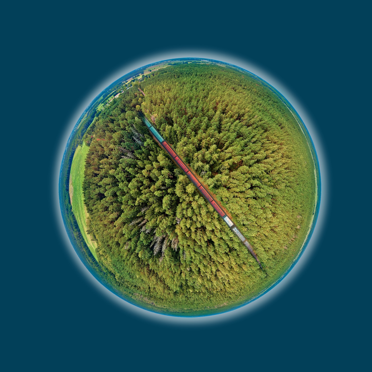
HELLO TRAFFIC ROUTES!
HEY ROUTE PLANNERS!
HELLO TRAFFIC ROUTES!
HEY ROUTE PLANNERS!
Satellite Intelligence shows you what will happen during the next storm.
- Storm risk assessment of forest areas
- Risk of storm damage depending on the spatial distance to the traffic route (railway track, road)
- Tree height
- Digital terrain models
- Digital surface models
- Combined analysis using satellite, soil and weather data
- Site characteristics
Interested? Want to know more? Contact us, we are looking forward to your message.
Satellite Intelligence shows you what will happen during the next storm.
 © Copyright 2021 - Spatial Business Integration GmbH
 © Copyright 2021 - Spatial Business Integration GmbH