
HELLO INSURANCE!
HEY UNDERWRITERS!
HELLO INSURANCE!
HEY UNDERWRITERS!
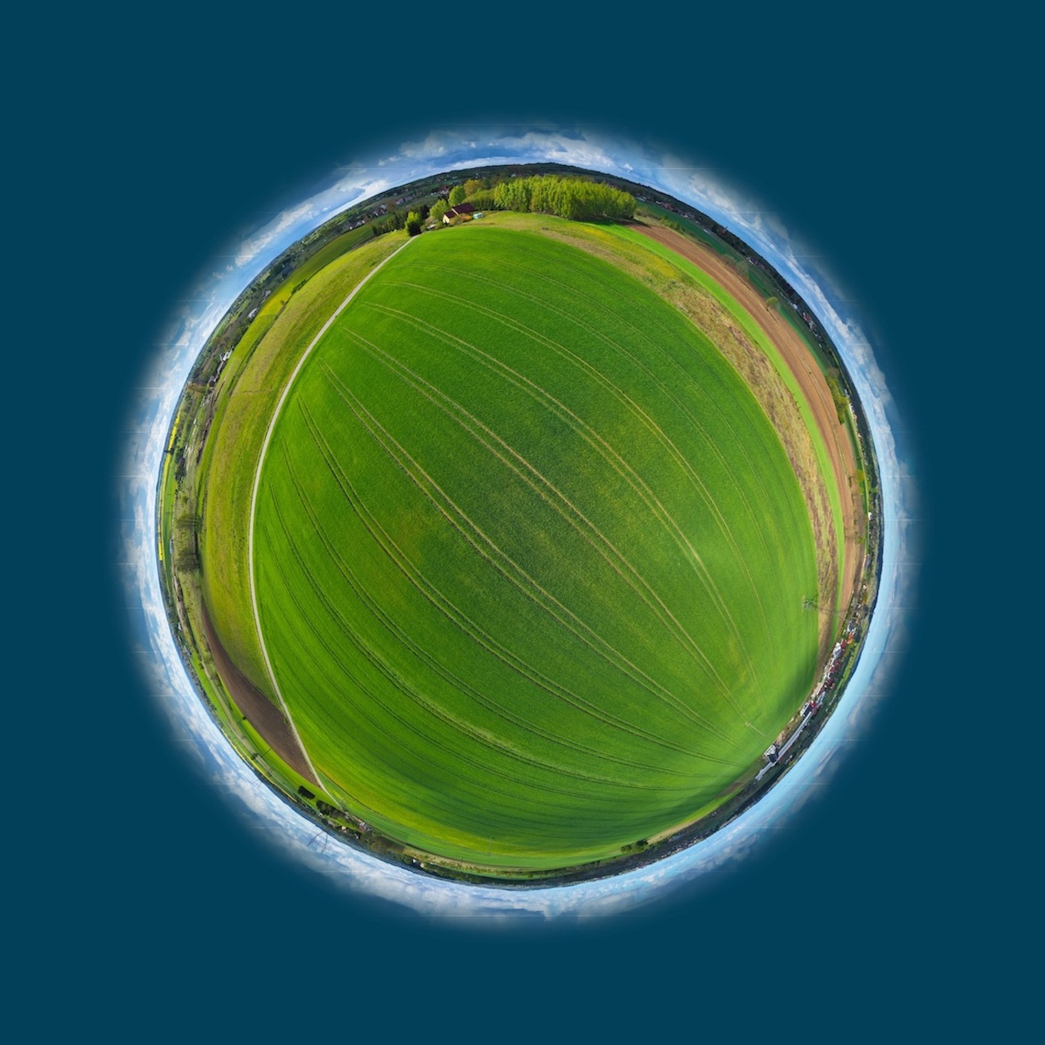
Satellite Intelligence shows you where the higher risks are.
- Damage cases in the agricultural and forestry sector
- Detection of frost, hail, lodging, fire, storm and drought damage
- Calculation of damage extent
- Risk stratification between regions
- Calculation basis for insurance premiums
- Risk scenarios due to climate change
- Combined analysis using satellite, soil and weather data
Interested? Want to know more? Contact us, we are looking forward to your message.
Satellite Intelligence shows you where the higher risks are.
 © Copyright 2021 - Spatial Business Integration GmbH
 © Copyright 2021 - Spatial Business Integration GmbH