
HELLO TREES!
HEY INVESTORS!
HELLO TREES!
HEY INVESTORS!
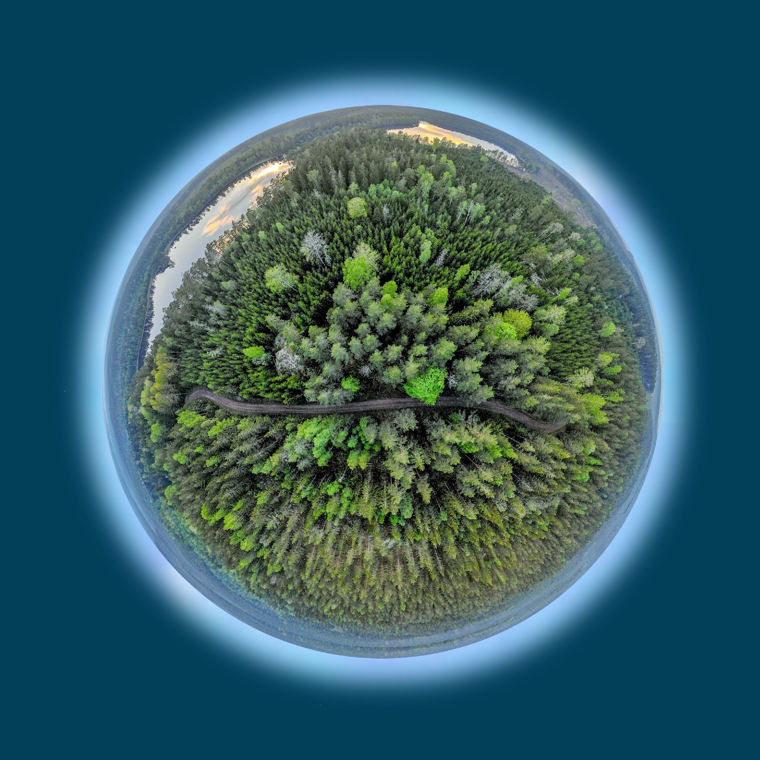
Satellite Intelligence shows you where the forest is growing and is healthy.
- Forest mapping
- Biotope mapping
- Forest mask
- Forest types
- Groups of tree species
- Tree height maps
- Stock maps
- Multitemporal analyses
- Forest monitoring
- Vitality maps
- Deforestation maps
- Bark beetle infestation
- Oak processionary moth
- Storm prone forest maps
- Fire risk maps
- Combined analysis using satellite, soil and weather data
- Scenarios due to climate change
Interested? Want to know more? Contact us, we are looking forward to your message.
To learn more about sustainable investments in agriculture and forestry, please visit the Spatial Business Institute site.
Satellite Intelligence shows you where the forest is growing and is healthy.
 © Copyright 2021 - Spatial Business Integration GmbH
 © Copyright 2021 - Spatial Business Integration GmbH