
HELLO PLANTS!
HEY FARMERS!
HELLO PLANTS!
HEY FARMERS!
Satellite Intelligence shows you where the yield can be increased in fields.
- Satellite-based application map
- ISOBUS data records
- Sowing map (Seed map)
- Soil moisture
- Classic agricultural investments
- Site specific fertilizer map
- Current nitrogen uptake status in the field
- Weed infestation in the field
- Risk of disease occurrence in the field
- Disease or pest infestation
- Application maps for spraying
- Optimized spraying sequence
- Ripeness sequence
- Yield potential in the field
- Relative yield potentials of several fields
- Yield forecasts with our own growth model
- Analysis of biodiversity
- Combined analysis using satellite-, soil-, weather and plant cultivar
Interested? Want to know more? Contact us, we are looking forward to your message.
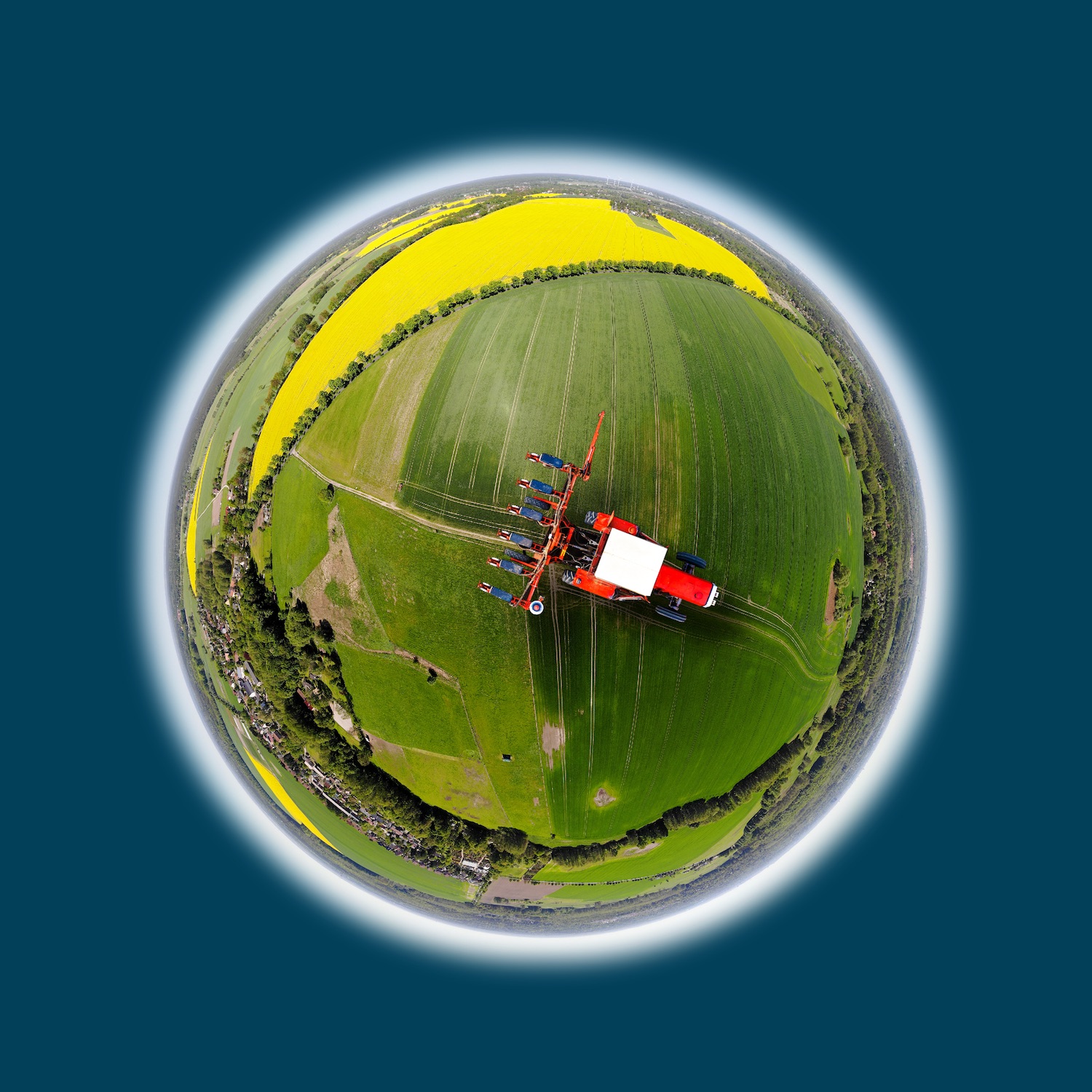
Satellite Intelligence shows you where the yield can be increased in fields.
 © Copyright 2021 - Spatial Business Integration GmbH
 © Copyright 2021 - Spatial Business Integration GmbH