Read more:
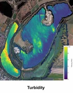
Turbidity: Estimated through satellite-based algorithms grounded in radiative transfer models, capturing changes in surface reflectance to monitor sediment resuspension.
Interested? Want to know more? Contact us, we are looking forward to your message.
Read more:
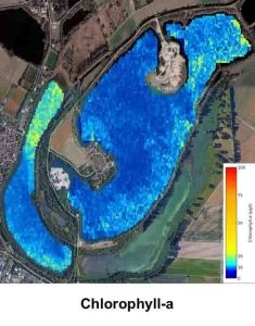
Chlorophyll-a: A primary photosynthetic pigment in phytoplankton, serving as a direct indicator of green algal biomass.
Interested? Want to know more? Contact us, we are looking forward to your message.
Read more:
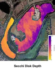
Secchi Viewing Depth: Derived using AI-optimized, satellite-based backscatter models, Secchi depth offers a measure of vertical water clarity.
.
Interested? Want to know more? Contact us, we are looking forward to your message.
Read more:
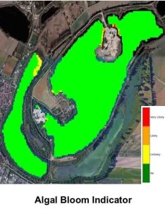
Algal Bloom Indicator: A risk index ranging from 1 (no risk) to 4 (very high risk), providing early warnings of harmful cyanobacterial blooms.
.
Interested? Want to know more? Contact us, we are looking forward to your message.
Read more:
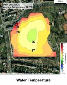
Water Temperature: Monitored in degrees Celsius (°C) via satellite imagery, offering critical insights for aquatic ecosystem health and water resource management.
.
Interested? Want to know more? Contact us, we are looking forward to your message.

